Location intelligence has become a core component of modern digital products. From ride sharing apps to logistics platforms and marketing tools, developers rely on precise geographic data to power seamless user experiences. Choosing the right API for coordinates and location lookup is not just about accuracy but also about performance, scalability, and ease of integration.
A reliable GPS Coordinates API allows developers to convert addresses into latitude and longitude, perform reverse geocoding, and enrich applications with location context. Whether you are building a delivery system, a travel app, or a business intelligence dashboard, selecting the right API can significantly impact your product’s success.
Why GPS Coordinate APIs Matter
GPS coordinate APIs act as the backbone of location based services. They enable applications to interpret geographic data and transform it into actionable insights. Without them, mapping, navigation, and geolocation features would be difficult to implement at scale.
Businesses use these APIs for several purposes. Logistics companies track shipments in real time. E commerce platforms personalize offerings based on user location. Marketing teams analyze regional trends to optimize campaigns. Even fintech apps use location data to detect fraud and ensure compliance.
The growing demand for accurate location data has led to the rise of several APIs offering different capabilities. However, not all APIs are created equal. Accuracy, response time, global coverage, and pricing are key factors to evaluate.
Key Features to Look For
When choosing a GPS coordinates API, developers should focus on features that align with their use case.
Accuracy and precision are critical. An API should provide reliable latitude and longitude data even for less common addresses or rural areas. High precision ensures better user experience, especially in navigation or delivery applications.
Global coverage is another essential factor. If your application serves users across multiple regions, the API must support worldwide data with consistent performance.
Forward and reverse geocoding capabilities are equally important. Forward geocoding converts addresses into coordinates, while reverse geocoding translates coordinates back into readable locations.
Speed and scalability should not be overlooked. APIs must handle large volumes of requests without latency issues. This is especially important for enterprise level applications.
Ease of integration matters as well. A well documented API with clear endpoints and SDK support can save development time and reduce errors.
Top GPS Coordinates APIs for Developers
Several APIs stand out in the market due to their reliability and feature set. Below are some of the best options available.
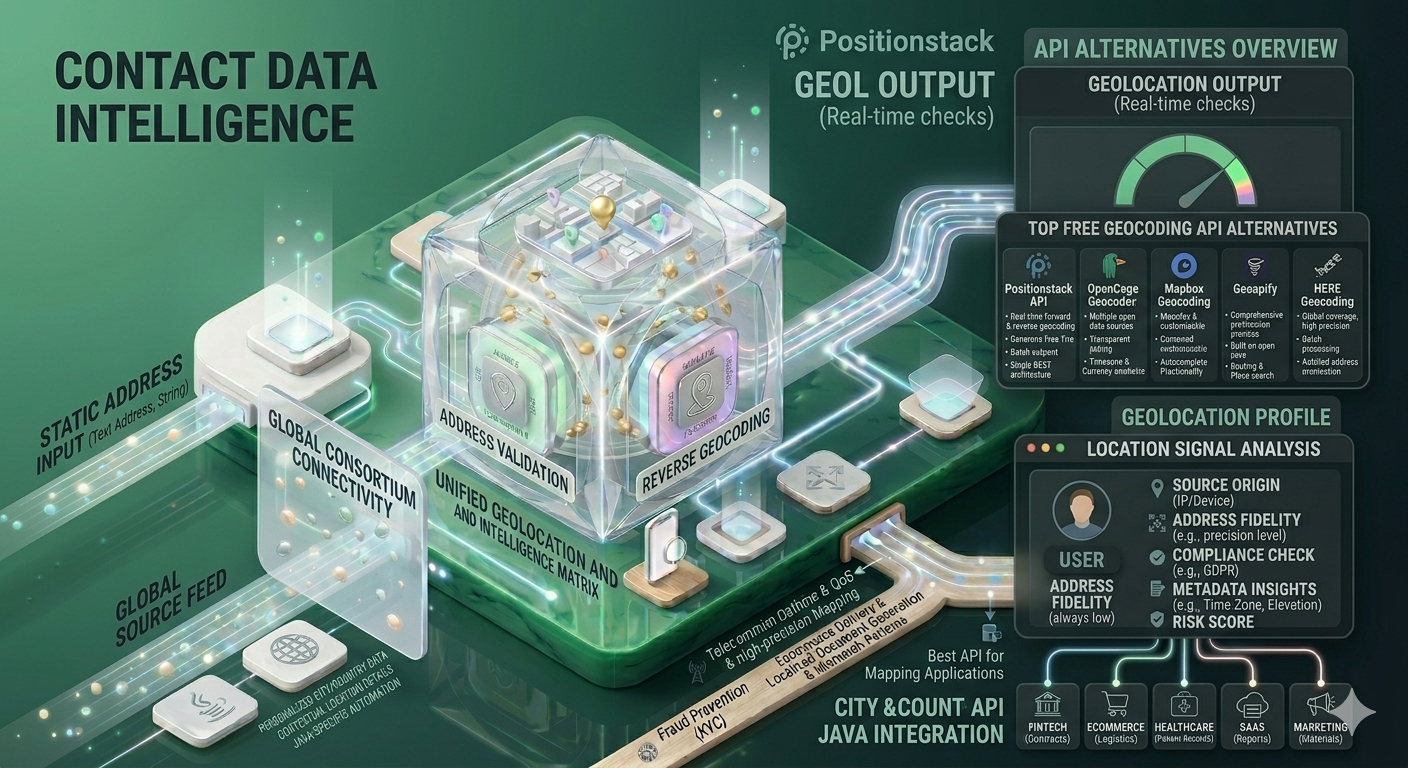
Positionstack
Positionstack is one of the leading APIs for geolocation and coordinate data. It offers robust forward and reverse geocoding capabilities with global coverage. Developers can easily integrate it into their applications using RESTful endpoints.
What makes Positionstack stand out is its balance between accuracy and affordability. It supports batch requests, making it ideal for applications that need to process large datasets. The API also provides real time results with minimal latency, ensuring smooth user experiences.
For businesses looking for a scalable solution, Positionstack offers flexible pricing plans that cater to both startups and enterprises.
Google Maps Geocoding API
Google Maps Geocoding API is widely known for its high accuracy and extensive data coverage. It provides detailed location information and integrates seamlessly with other Google services.
However, pricing can become a concern for high volume usage. While it is a powerful tool, developers often look for alternatives that offer similar features at a lower cost.
Mapbox Geocoding API
Mapbox offers a flexible and developer friendly geocoding API. It provides customizable maps and location data with good performance.
The API is particularly popular among developers who need design flexibility along with geolocation capabilities. It also supports forward and reverse geocoding with global coverage.
OpenCage Geocoder
OpenCage is another reliable option for geocoding services. It aggregates data from multiple sources to provide accurate results.
It is known for its transparency and straightforward pricing model. Developers appreciate its easy integration and comprehensive documentation.
HERE Geocoding API
HERE provides enterprise grade geolocation services with high precision. It is commonly used in automotive and logistics industries.
The API offers advanced features such as traffic data and route optimization, making it suitable for complex applications.
How to Choose the Right API
Selecting the best API depends on your specific requirements. Start by identifying your primary use case. If you need real time tracking, prioritize speed and accuracy. For data analysis, focus on batch processing capabilities.
Budget is another important consideration. Some APIs offer free tiers with limited requests, while others provide scalable pricing for growing applications.
Documentation and developer support should also influence your decision. A well supported API reduces integration challenges and speeds up development.
Testing multiple APIs before finalizing one can help you understand their performance and reliability. Many providers offer trial access, allowing developers to evaluate features without commitment.
Use Cases Across Industries
GPS coordinate APIs are used across a wide range of industries.
In logistics, they enable real time tracking and route optimization. Companies can monitor shipments and improve delivery efficiency.
In travel and hospitality, these APIs power location based recommendations and navigation features. Users can discover nearby attractions, hotels, and restaurants.
Retail businesses use location data to personalize customer experiences. By understanding user location, they can offer targeted promotions and improve engagement.
In fintech, location data helps detect suspicious activities and enhance security measures.
Healthcare applications also benefit from geolocation services by enabling emergency response systems and patient tracking.
Benefits of Using a Reliable API
Using a high quality API offers several advantages.
It improves user experience by providing accurate and fast results. Users expect seamless interactions, and reliable location data ensures that.
It enhances operational efficiency. Businesses can automate processes and reduce manual effort.
It supports scalability. As your application grows, a robust API can handle increased demand without compromising performance.
It also provides valuable insights. Location data can be analyzed to understand user behavior and optimize strategies.
Challenges to Consider
Despite their benefits, GPS coordinate APIs come with challenges.
Data accuracy can vary depending on the provider. Some APIs may struggle with incomplete or ambiguous addresses.
Rate limits can also impact performance. Developers need to manage API usage carefully to avoid exceeding limits.
Privacy concerns are another factor. Handling user location data requires compliance with data protection regulations.
Choosing a reliable provider and implementing best practices can help overcome these challenges.
Conclusion
Choosing the right API is essential for building applications that rely on precise location data. With multiple options available, developers must evaluate features, pricing, and performance to make an informed decision.
Positionstack stands out as a strong contender due to its balance of accuracy, affordability, and ease of integration. It is particularly useful for developers looking for a scalable solution that supports both forward and reverse geocoding.
In addition, integrating a City and Country Lookup API can further enhance your application by providing contextual location details. This combination allows businesses to deliver more personalized and data driven experiences.
FAQs
What is a GPS coordinates API?
A GPS coordinates API allows developers to convert addresses into latitude and longitude and vice versa. It enables applications to use location data for mapping and navigation.
How accurate are geocoding APIs?
Accuracy depends on the provider and data sources. Leading APIs like Positionstack and Google Maps offer high precision, but results may vary for less common locations.
Can I use a GPS API for free?
Many APIs offer free tiers with limited requests. For larger applications, paid plans provide higher limits and additional features.
What is reverse geocoding?
Reverse geocoding is the process of converting latitude and longitude into a readable address or location name.
Why is location data important for businesses?
Location data helps businesses personalize user experiences, optimize operations, and gain insights into customer behavior.
If you are looking to integrate reliable and scalable geolocation services into your application, Positionstack is a great place to start. With powerful features, global coverage, and easy integration, it simplifies the process of working with location data.
Explore the full capabilities and get started today by visiting https://positionstack.com/ and take your location based applications to the next level.
Join our community to interact with posts!